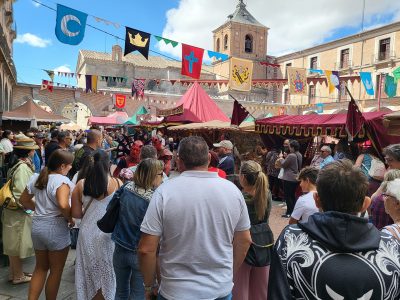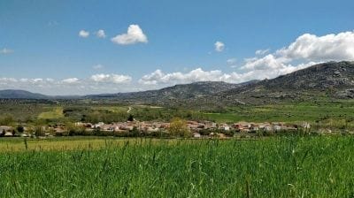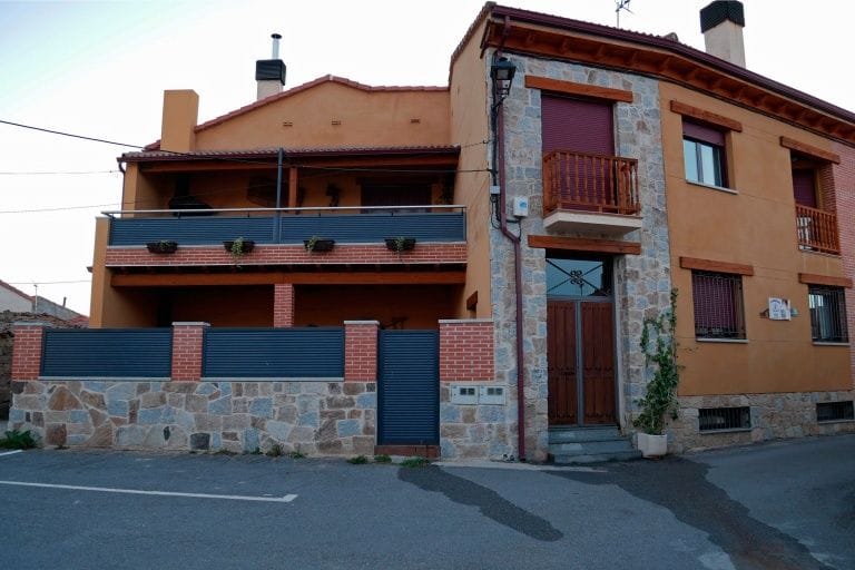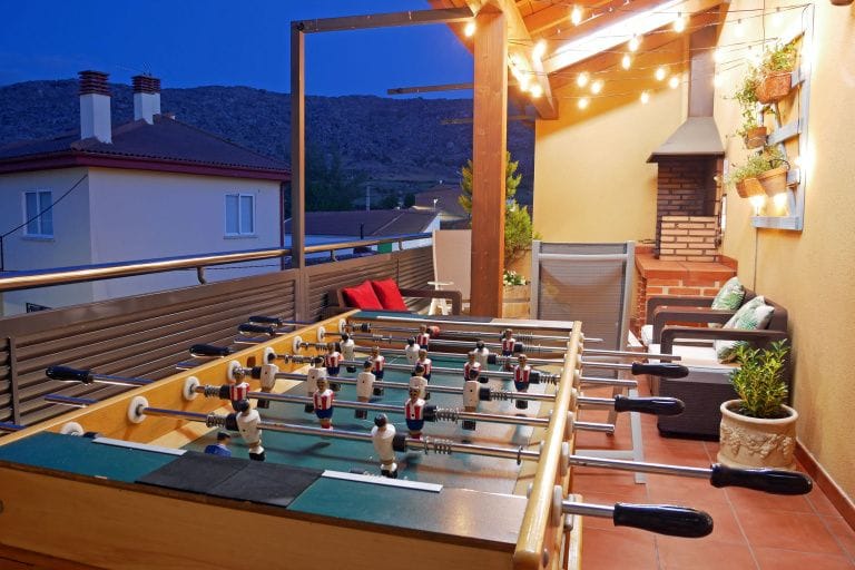
The Amblés Valley is the valley of the river Adaja and the district Robledillo belongs to. Most of its villages, all full of charm and tradition, lie close to the river. You can go hiking, visit Iron Age hill forts, see open-air art and much more.
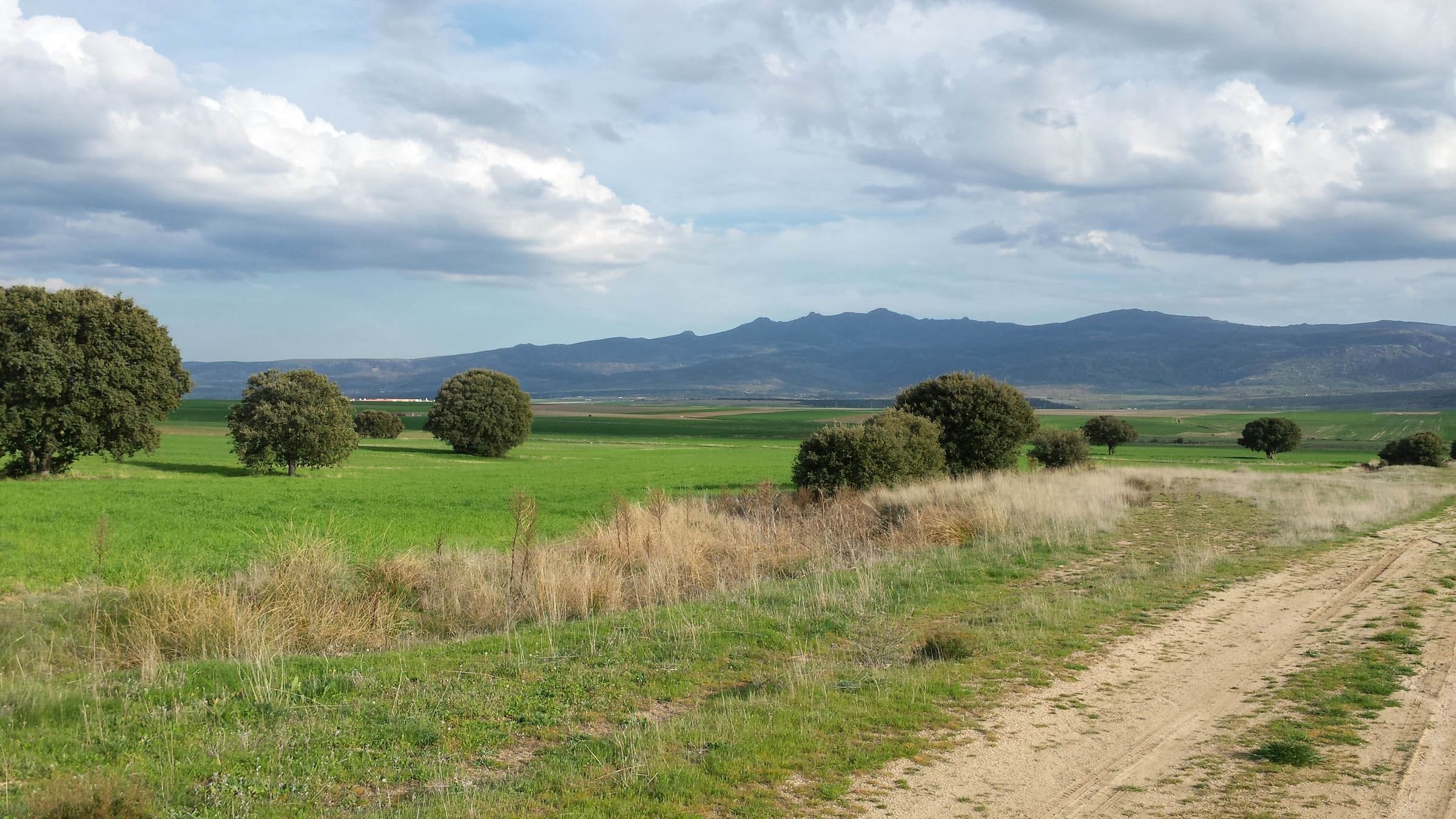
The Amblés Valley is the valley of the river Adaja and the district Robledillo belongs to; most of its villages lie close to the river. Along its course the Adaja creates woods, poplar groves and meadows that contrast with the surrounding farmland and with the slopes of the ranges that enclose the valley (Sierra de Ávila, Serrota and Paramera), where rocks, a few holm oaks and above all planted pines dominate.
Here is a one-day cultural tour of the Amblés Valley: a circular drive starting from Robledillo.

Solosancho and around

Just two km from Robledillo is Solosancho, at the foot of the Sierra de la Paramera, so its landscape combines mountain pastures for livestock on one side and flat farmland on the valley floor on the other. Places of interest include the Church of Santo Tomás Apóstol, the Hermitage of San Juan Ante Portam Latinam and the old forges …
Villaviciosa: at the foot of the Castro de Ulaca, a very picturesque village with a rich heritage. Its most typical buildings and enclosures were built for livestock farming, which gives it a special character, completed by the castle, the Cimbanillo bell gable, the verraco stone boar and the old wash-houses, and many other interesting buildings (forge, bread oven, mill…).


The Castro de Ulaca, on a hilltop surrounded by a strong wall, with mysterious features such as the initiation sauna and the sacrificial altar, was the most important settlement in the region before the Roman conquest and is one of the most remarkable Celtic hill towns in Europe.
Baterna lies on the valley floor, on the right bank of the river Adaja. Highlights include the shoeing frame, the tenadas (old livestock sheds), the Cruz de la Venta boundary cross and the
Puente de los Cobos bridge. But above all it stands out for the scenery along the river Adaja.

Sotalvo and Mironcillo

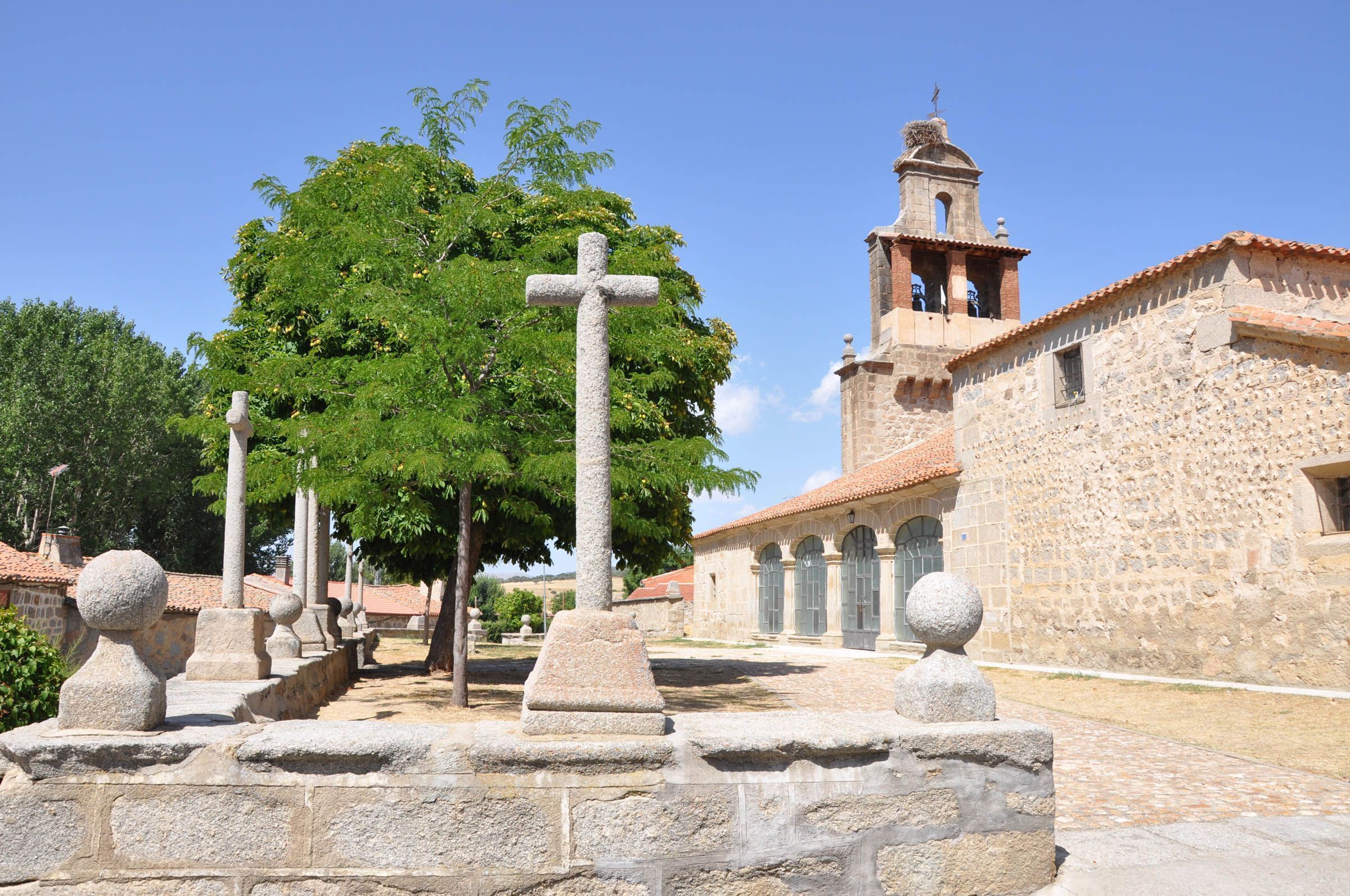
Sotalvo lies at the foot of the Sierra de los Baldíos, at 1,158 metres, 8 km from Robledillo. Its main sight is the church of Nuestra Señora de la Purificación, built in the 16th century, with a polygonal apse, a single nave and a bell gable with two openings.
The village is the way up to Pico Zapatero , the starting point for many hiking and mountain-bike routes.
Manqueospese Castle, from its superb position on a rocky ledge of the Sierra de la Paramera, overlooks the whole Amblés Valley, with the walls of Ávila just visible beyond the hills of the Sierra de Yemas.
It was built in the 1470s and 1480s by Pedro Dávila. Highlights are its massive walls, the Renaissance gateway, the gun loops and the latrines preserved in one of the towers.
The castle combines dressed stone, rough-cut stone and rubble masonry, alternating between its two enclosures.

Mironcillo is a village in the Amblés Valley, in the foothills on the north side of the Sierra de la Paramera. Places of interest include the Church of San Sebastián, the prehistoric rock altar and Las Tenadas. You can also visit the old water mills on the river Garganta: the ruins of two flour mills, one north of the village and the other close to the houses, to the south.
Muñogalindo
Muñogalindo spreads between the holm-oak-covered slopes of the Sierra de Ávila and the flat land of the Amblés Valley. It is on the N-110 road, 18 km from Ávila, in the middle of the valley, between the gentle hillside of dehesas and oak woods and the valley floor.
It is home to the Amblés Valley Visitor Centre, in the old doctor’s house, which explains the landscape and history of the valley.

Ibarrola en Garoza is an art-in-nature project created by the Basque painter and sculptor Agustín Ibarrola (Basauri, 1930). The artist treats the whole dehesa landscape as his canvas, creating a deep dialogue between his avant-garde painting and the granite boulders, the holm oaks, the light and the history of the place.
The result is a striking group of 115 large painted stones, each with its own meaning, open to visitors along footpaths with a map and audio guide.