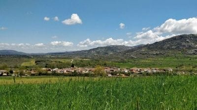
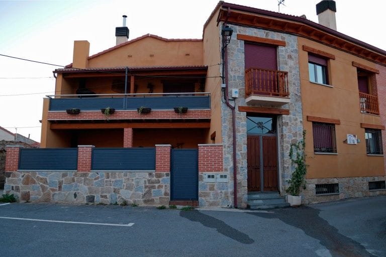
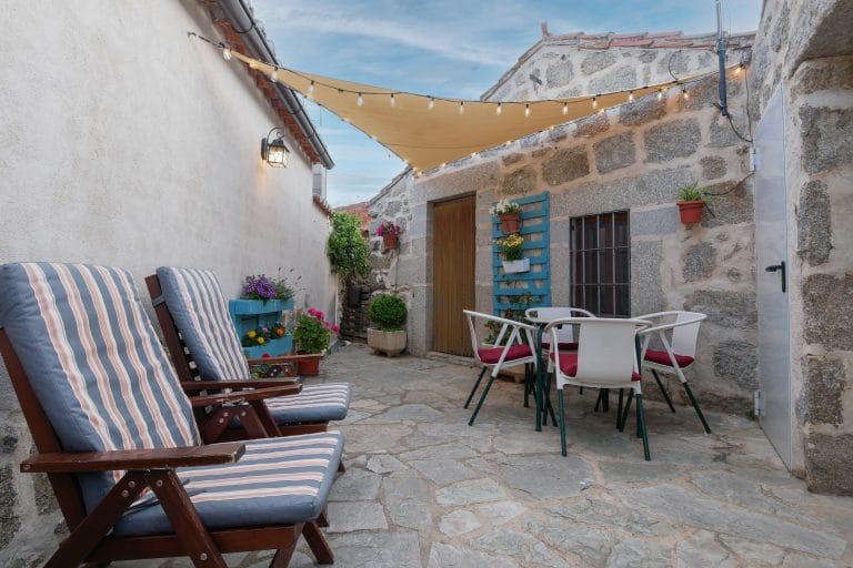
Robledillo sits on the slopes of the Sierra de la Paramera, above the Amblés Valley: you can set off on foot from the cottage door, and ten minutes away by car are the hill forts of Ulaca and Navasangil and the viewpoints of the Pico del Gavilán. We have picked trails on Wikiloc that we know, with their distance and elevation gain, so you can follow them on your phone with the app.
On foot from the cottages
Our own trails. We recorded these ourselves and walk them often: they start at the cottage door and climb into the hills above the village.
Robledillo – Los Picos – Las Callejas
8.7 km · circular · +366 m · moderate · about 2 h 20 min walking. Up to Los Picos, at about 1,500 m, with views over the whole Amblés Valley, and back down along the old lanes (las callejas) into the village.
Show the trail map
Robledillo – Garganta – Fuente Venero Frío – Las Becedillas
11.9 km · circular · +462 m · moderate · about 3 h 10 min walking. Up the Garganta, the little stream valley above the village, to the Venero Frío spring and Las Becedillas, reaching about 1,550 m before heading back to Robledillo.
Show the trail map
Garganta, Las Joyas, Maldemerina and Venero Frío
9.9 km · circular · +511 m · moderate. A higher loop through the Garganta, Las Joyas and Maldemerina, up to about 1,650 m, the best views of the valley from our side of the sierra.
Show the trail map
Robledillo – La Villa
5.3 km (one way) · +51 m · easy. A gentle, almost flat walk out of the village along the valley tracks; perfect for an afternoon or with small children.
Show the trail map
More short walks from the village (the Pisada del Niño, the Garganta, the Cueva de los Moros) in Robledillo and Walks with your dog.
Vettonian hill forts from Villaviciosa (10 minutes away)
Castro de Ulaca, ritual sauna and Cerro del Castillo
6.3 km · circular · +321 m · moderate · about 2 h 15 min. The classic climb from the hill fort car park in Villaviciosa: walls, sacrificial altar, ritual sauna and, from the Cerro del Castillo, a bird’s-eye view of the valley. The full story of the hill fort in Castro de Ulaca.
See the trail on Wikiloc Directions to the start
Show the trail map
Pico del Gavilán and Castro de Ulaca
9.5 km · circular · +482 m · moderate · about 3 hours. Leaves Villaviciosa towards the Navasangil hill fort, crosses the Los Lanchones pass and climbs the Pico del Gavilán, with superb views of the Amblés Valley and the Sierra del Zapatero, before coming down via Ulaca.
See the trail on Wikiloc Directions to the start
Show the trail map
Castro de Navasangil
8 km · circular · +271 m · moderate. From Villaviciosa to the Cabeza de Navasangil and its fortified settlement, the San Gil hermitage and the Canto del Remponso. More about the site in Castro de Navasangil.
See the trail on Wikiloc Directions to the start
Show the trail map
For a full day
Big loop: Ulaca, Cerro del Castillo and Manqueospese castle
19.1 km · circular · +589 m · hard. The long loop for keen walkers: it links the Ulaca hill fort with the Manqueospese castle up in the hills and returns to Villaviciosa.
See the trail on Wikiloc Directions to the start
Show the trail map
Villatoro – Source of the river Adaja
16.6 km · circular · +538 m · moderate · about 4 hours walking. One of our own trails. From Villatoro to the spring where the river Adaja, the river that flows past the walls of Ávila, is born, reaching almost 1,600 m.
See the trail on Wikiloc Directions to the start
Show the trail map
La Serrota from Cepeda la Mora
15.3 km · circular · +772 m · demanding because of the climb. La Serrota is the most recognisable mountain in central Ávila and can be seen from almost anywhere in the province. This loop climbs to the summit, over 2,290 m, from Cepeda la Mora. Best from spring to autumn, with a good weather forecast.
See the trail on Wikiloc Directions to the start
Show the trail map
Fancy more mountains? The lakes and glacial cirques of the Sierra de Gredos are about 40 minutes away.
Before you set off
- Take water, hiking boots and a warm layer: the weather changes quickly in the hills.
- In summer, start early; there is little shade on the climbs to Ulaca and the Gavilán.
- Cattle graze freely on many estates: leave gates as you find them and keep your dog on a lead near cows.
- The tracks are uploaded by Wikiloc users and are only a guide: check the route beforehand and keep your phone charged. Emergencies: 112.
- If you are not sure which trail to choose, ask us when you arrive and we will suggest the one that suits you best.